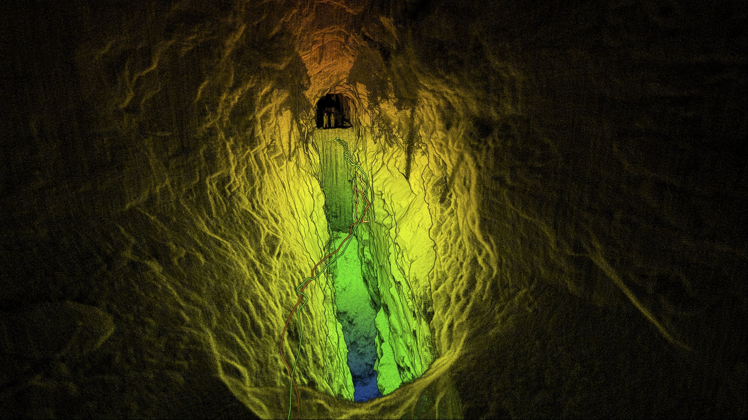
3D Laser Scanning Explained
Leica 3D laser scanners are high-precision instruments that capture 3D data of objects, buildings, and environments. This data enables you to:
Visualize projects and enhance collaboration among architects, engineers and contractors
Catch discrepancies early, minimizing costly rework
Detect structural deviations or errors in real-time, ensuring the work meets specifications
Gain the advantage of crucial as-built data for future maintenance, renovations or expansions.
Our Leica Equipment
We utilize a fleet of Leica Equipment including RTC360 and P40 laser scanners. Our top-of-the-line Leica 3D scanners capture up to 2 million points of data per second with a 3D point accuracy of +/- 2mm from a distance of 10 meters.
RTC360 3D Laser Scanner
With a range of up to 130 meters and a scan speed of up to 2 million points of data per second, the Leica RTC360 is ideal for capturing high-quality 3D data quickly in a wide variety of environments.
Leica ScanStation P40
With a range of up to 270 meters and a scan speed of up to one million points of data per second, the Leica P40 is highly regarded for its precision, long range and versatility.
Leica Total Station TS10
This high precision instrument is used to measure angles, distances, and elevations with high accuracy and precision. It can capture data points with >2mm accuracy from more than 1,000 meters away.
LiDAR 3D Scanning 101
LiDAR technology is an invaluable tool for the Architecture, Engineering and Construction (AEC) industry as it supplies crucial, as-built data with a high degree of accuracy and speed. Let us explain how it works: 3D scanners emit a laser pulse towards a surface. The scanner measures the time it takes for the pulse to hit the surface and return to the sensor. Based on this time, the distance to the surface is calculated. Millions of these laser pulses are emitted, capturing the exact geometry of an environment or object in three dimensions.
Point Cloud
The data collected from the laser pulses is registered in a point cloud model for use in CAD software, allowing you to extract distances, angles, areas, volumes, assess spatial relationships and identify discrepancies between site conditions and drawings.
CAD Model
An as-built 3D CAD model is a detailed digital model using CAD (Computer-Aided Design) software. These models allow for complete visualization of the scanned environment, object or structure and offer output options such as: 3D mesh models, section lines, benchmarks, grid lines, surface planes, simulation and prototyping.
2D CAD Drawings
3D scan data is processed into 2D CAD drawings, providing fabrication drawings, floor plans, elevation drawings, section views, perspective and isometric drawings, and more.
Building Information Modelling (BIM)
A BIM model is a 3D digital representation of a building or infrastructure that includes detailed information about its design, construction, and operation. It goes beyond just a visual model by embedding data about materials, dimensions, systems (like HVAC, plumbing, electrical), and even schedules and costs.
Other Scanning Applications
3D laser scanning has a wide range of applications across various industries. Here’s a brief list of some key applications:
Topographic mapping, urban planning, flood risk management, forest management, roadway mapping, erosion monitoring, heritage site documentation, mapping archaeological sites, mining industry (pit volume calculations), thermal analysis, civil engineering, film industry and so many more!


